CapitalGems.ca
  • Home
  • Buildings and Ruins
  • Caves and Mines
  • Landscapes
  • Other
  • About Us
  • Contact

​Abandoned T66 Mine

GATINEAU PARK, ​QUÉBEC
BACK
Picture

Picture

INFORMATION

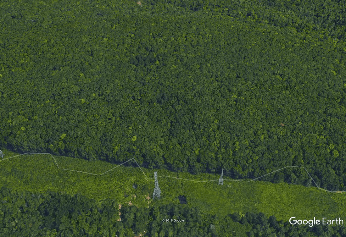
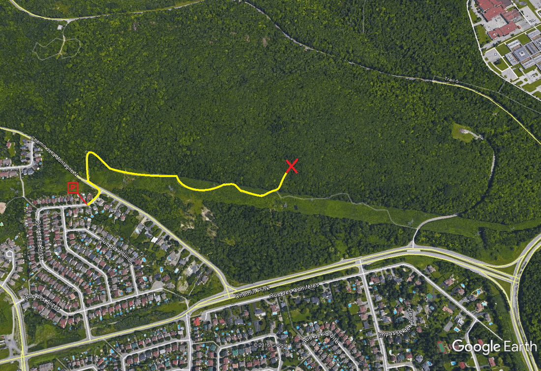
This mine does not have a name; therefore we named it after the Gatineau park trail #66, which leads to the mine. This mine was hard to find as it does not exist on any historical maps.

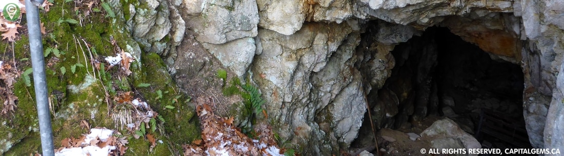
​The mine is approx. 30 feet long by 6 feet wide by 10 feet high. The entire mine is now fenced in for health and safety reasons. Enjoy this lovely walk through the woods in any season.
​
UPDATED 07/14/2020:
​

We would like to thank Mary-Chantale for the following historical information:
​

The T66 mine was known as the Hull mica mine Eastern Operation, but it did not yield much other than a bit of phosphate and some phlogopite (amber mica). This plot was owned by none other than E.B Haycock, the same person who owned the Haycock mine as well as many others throughout Ontario and Quebec. The mine did not last too terribly long, as did most mines in the Gatineau hills at that time.
​

Picture

HELP US PROTECT GATINEAU PARK AND LEAVE NO TRACE.


Picture
POTENTIAL RISKS:
RESTRICTIONS ARE IMPOSED
The Mine Is Fenced In by Gatineau Park
Dangerous To Venture Inside
Sharp Fence
​Loose Rock

Note:
No one should attempt to explore an abandoned mine as there are many dangers such as cave-ins, bad air, and hidden shafts. Explore at own risk.​

Picture

White Nose Syndrome:

White Nose Syndrome (WNS) has killed more than 5.7 million bats in the U.S. since the winter of 2006/2007. First noted near Albany, New York, it has spread at an astonishingly rapid rate. Little is known about its cause or transmission. A fungus is the causative agent for the disease. If WNS continues to spread, it will greatly affect both subterranean and surface ecosystems and may cause species extinctions. There are indications that people might spread WNS when they visit caves. Therefore, we must take every reasonable precaution to minimize the risk of workshop participants spreading WNS at faster than normal rates, and to keep the syndrome from reaching other countries. 
mffp.gouv.qc.ca
How to prevent Spread

Picture
TERRAIN DIFFICULTY:
Picture

Picture
FAMILY FRIENDLY:
Yes

Picture
EQUIPMENT:
Hiking Shoes In Summer
Snow Shoes In Winter
Flashlight

Picture
TOURS:
N/A

Picture

mapS:


Picture

360° PHOTOGRAPHY


Picture

How To Get There:

Hike on snowshoe trail #66 leading underneath the power pylons. Once you are near the coordinates turn left into the forest. Once in the forest look for a fenced hole on top of a small hill near the coordinates provided below. Please note that the mine is hard to spot in winter and summer.

Picture
Coordinates: 45.448079, -75.774963
DOWNLOAD COORDINATES

Picture
Estimated Travel Time: 15:00 from downtown Ottawa.

FOLLOW US ONLINE

Use the search bar above to search any topics/locations on CapitalGems.ca
Last Updated:  January 21, 2021
Thank You For Your Ongoing Support
Copyright © 2013 - 2021 Capital Gems, All rights Reserved

Privacy Policy
Liability
Copyright
Donate
Career
Contact
Submit Location

  • Home
  • Buildings and Ruins
  • Caves and Mines
  • Landscapes
  • Other
  • About Us
  • Contact